Storms Dudley and Eunice set to batter Halton with winds of 60-70mph or more
The Met Office has warned said people could be injured or worse due to the risk of falling trees and flying debris.

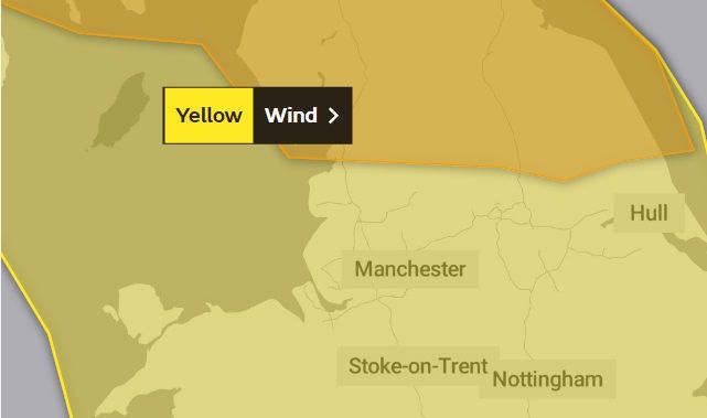
Storm Dudley is expected to arrive in the North West on Wednesday. (Met Office)
Halton residents have been warned over the risk of flying debris and falling trees as two storms hit the region this week.
The Met Office said Storm Dudley was expected to bring “very strong winds” on arrival at some point from 3pm on Wednesday, February 16, and lasting up until 6am on Thursday, February 17.
Gusts of 60-70mph are forecast inland while exposed areas could face a brief battering of 80-90mph - classed as hurricane winds under the Beaufort scale.
Although a yellow alert is in place for Halton, Cheshire, a higher amber warning has been placed across much of England further north and Scotland.
In Widnes and Runcorn, the public has been urged to beware the possibility of flying debris, falling trees, travel disruption, power cuts and damaged buildings amid a risk of “injury and danger to life”.
Some roads and bridges could also shut.
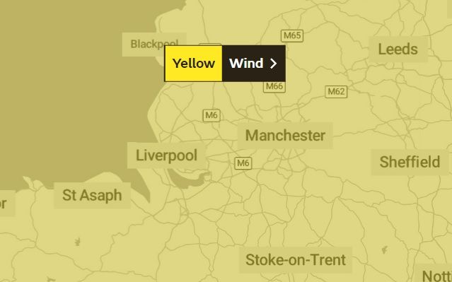
Then on Friday, Storm Eunice is due to land, with Halton again covered by a yellow weather warning.
The Met Office said Eustice is expected to bring a smaller risk of similar problems.
Friday’s warning is in place from midnight until 9pm.
Halton spans the towns of Runcorn, Cheshire, and Widnes, and some neighbouring villages.
In its Storm Dudley warning, a Met Office spokesperson said: “Very strong westerly winds are expected to develop across southwest Scotland and northern parts of Northern Ireland later on Wednesday afternoon, extending eastward across southern Scotland and northern England during the evening.
“There is still some uncertainty in the timing and location of the strongest winds but inland gusts of 60-70mph are likely, perhaps briefly up to 80 mph in a few places.
“Gusts of 80-90mph are possible around exposed coasts and hills for a time.”


